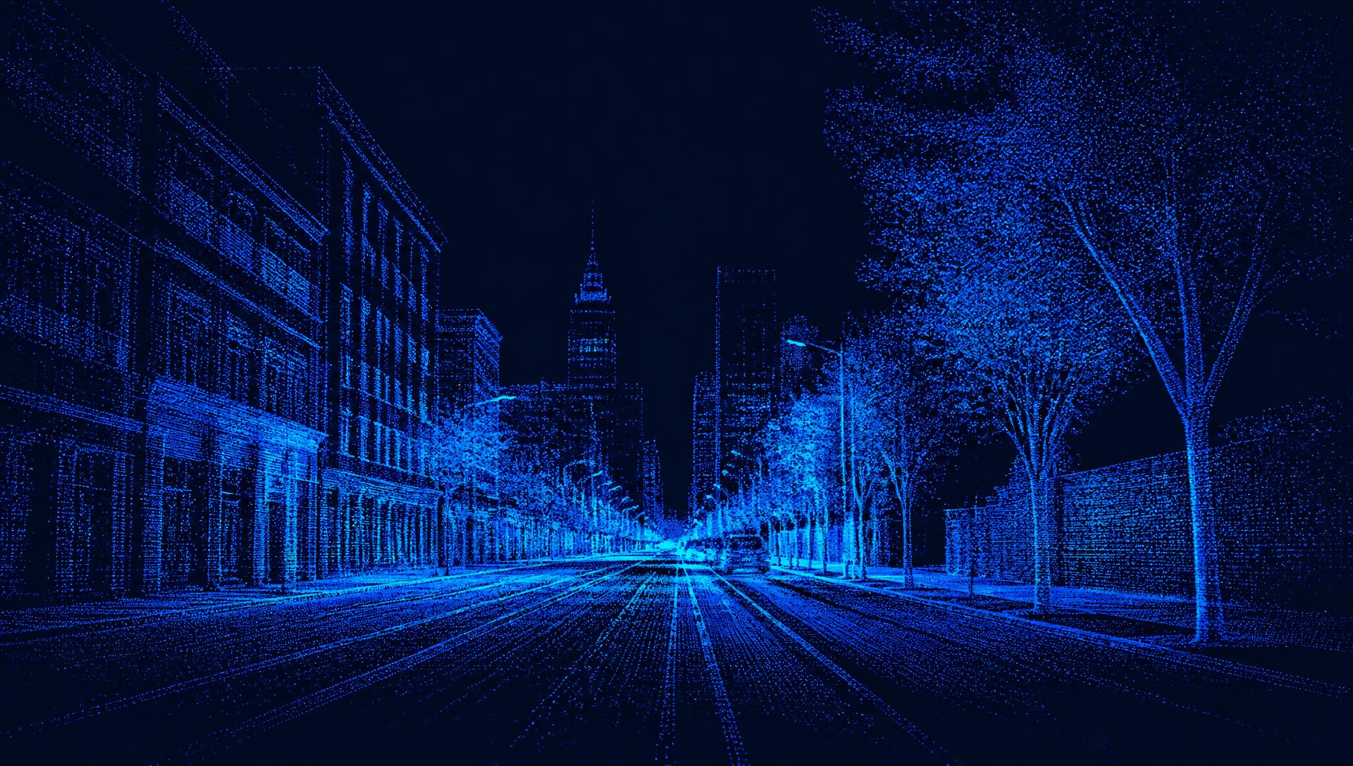
Point cloud software
VisionLIDAR. Visualize, process and analyze every point.
A comprehensive, production Windows application designed to visualize, manage, process and analyze LiDAR point cloud data — with a unique algorithm for bare earth, vegetation and building extraction.
Overview
Unlike traditional point cloud software
VisionLIDAR has a unique algorithm to extract vegetation and building point clouds from mobile or terrestrial data. The first step is to extract ground points from the point cloud, then building points, followed by vegetation points.
Our unique algorithm for bare earth extraction automatically filters vegetation and building points. The parameter setting works fine with point clouds under extreme variations in terrain — even steep slopes covered with dense vegetation, or areas where very few ground points are available.
64-bit
Windows application
Version 28
Redesigned ribbon interface
100+
New features and enhancements
126
Classification layers
Benefits
A complete suite for filtering, classifying, editing and data management
The VisionLIDAR software suite is designed for 64-bit Windows operating systems. Version 28 highlights a completely new, redesigned interface with tools organized into intuitive ribbon groups, plus over 100 new features and enhancements.
Import module
Import file txt, pts, ptx, E57, LAS, LAZ.
Export module
Export file in LAS, LAZ, E57, PTS, LandXML, CSV, DXF.
Registration module
Register and align scans independently from scanner software. Advanced importer adds aerial, terrestrial and mobile scans to an existing project, and the transformation calculator references entire projects to a coordinate system.
Point cloud extract
Extract specific parts of the point cloud to classify, delete, or create surface.
Classification & filtering
Classify and filter into 126 layers with automatic detection of vegetation, building, and bare earth.
Profile and section
Dynamic viewing of profile and section of your point cloud into any direction.
Vectorize
Vectorize plans created from your point cloud with points, lineworks, alignment and surface directly into your CAD.
Mesh
Extract meshed digital 3D terrain models (DTM) on bare earth, without vegetation and building.
Volume
Create volume for complex overhang and vertical surface.
Dimensioning
Measure and annotate angle, distance, area and volume.
Plan intersection highlight
Dynamic viewing of intersecting plans for easy selection.
Vertical
Analyze the verticality of building with color distance interval.
Adaptatif template
Detection of template from cross section, editing by interval, and export into dxf surface.
Dendrometry
Tree trunk automatic detection: tops, trunk, trunk height, crown, DBH (Diameter and Breast Height) and crown surface measurements.
Building footprints
Horizontal cross section allows to extract footprints into lines.
Poles and lines
Extract poles and powerlines.
Intensity
Extract any lines by point intensity for centerline road, railroad, and parking lots.
Alignment 3D
Extract lines and create 3D alignment with horizontal curves, vertical curves, and spiral.
Features
Ten modules that turn raw scans into deliverables
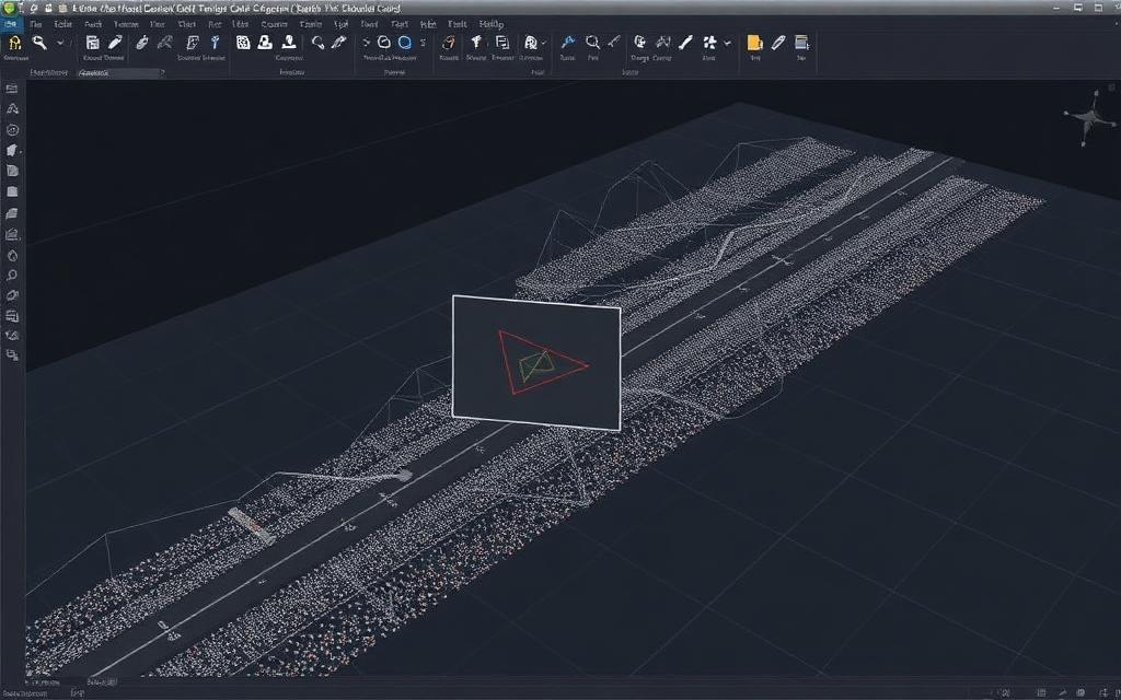
Point Cloud Extract
Extract specific parts of the point cloud to classify, delete, or create surface.
Contact
Contact us
Tell us about your point cloud projects and our team will get back to you with a demo, pricing, or the documentation you need.